rx555
Moderator 
Posts: 225
|
Post by rx555 on Apr 23, 2007 0:36:40 GMT 7
Posted by Nhan, on the Sched Forum: Trail Head starts from Mang Vics bulaluhan... mostly paved road, fireroads and rocky road... last portion of the trail is a very steep technical downhill to Batlag. Trail ride estimates 50km back and forth... we'll exit via the palo alto gate (a very steep short uphill climb ) Prepare P20 for the entrance fee... Bring Light snacks for sure tomguts we are once inside batlag we'll take early lunch at Mang Vics Bulaluhan before entering the trailhead (there are no carinderia once inside the trails upto batlag).. Hope this time there will be lesser people on the falls (we ride last holy thursday and its jampacked) since it is already accessible via Sampaloc, Tanay (i think via tricycle only).  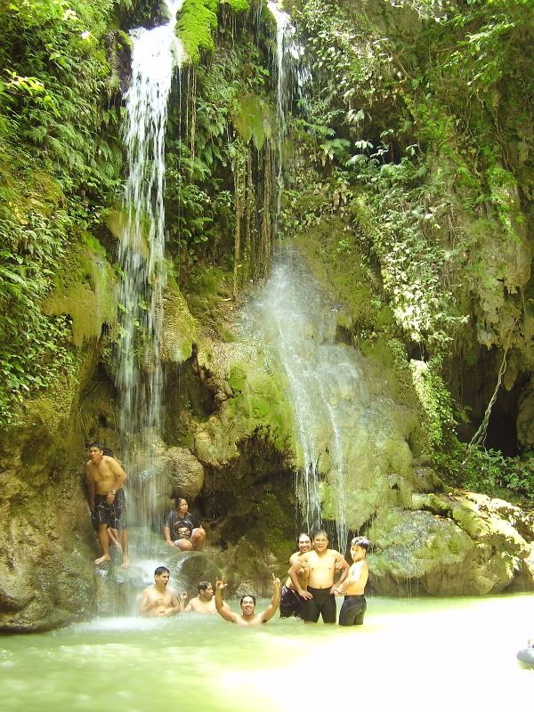  |
|
|
|
Post by uphiller on Apr 26, 2007 14:47:48 GMT 7
thanks for the sharing bro  |
|
|
|
Post by homercastro on Dec 24, 2008 0:32:20 GMT 7
mga sir saan tong batlag baka naman pwde makahingin ng map....forward nlng sa email ko castrohomer@gmail.com
|
|
|
|
Post by rcadena82 on Mar 22, 2011 11:19:59 GMT 7
ako din mga sir bka pde pa-email ndin ng map d2 rcadena24@yahoo.com slamat and godbless
|
|


